- Archaeological News
-
 Image Credit:
Bárbara Vale, Campos et al., Frontiers in Environmental Archaeology (2026)
Image Credit:
Bárbara Vale, Campos et al., Frontiers in Environmental Archaeology (2026)
Satellite Mapping Reveals Hidden Archaeology in the Amazon Floodplain
Remote-sensing research in Brazil’s Lower Amazon has demonstrated that archaeological remains can survive within the region’s constantly changing floodplains, challenging the assumption that erosion and sediment deposition have erased most traces of ancient occupation.
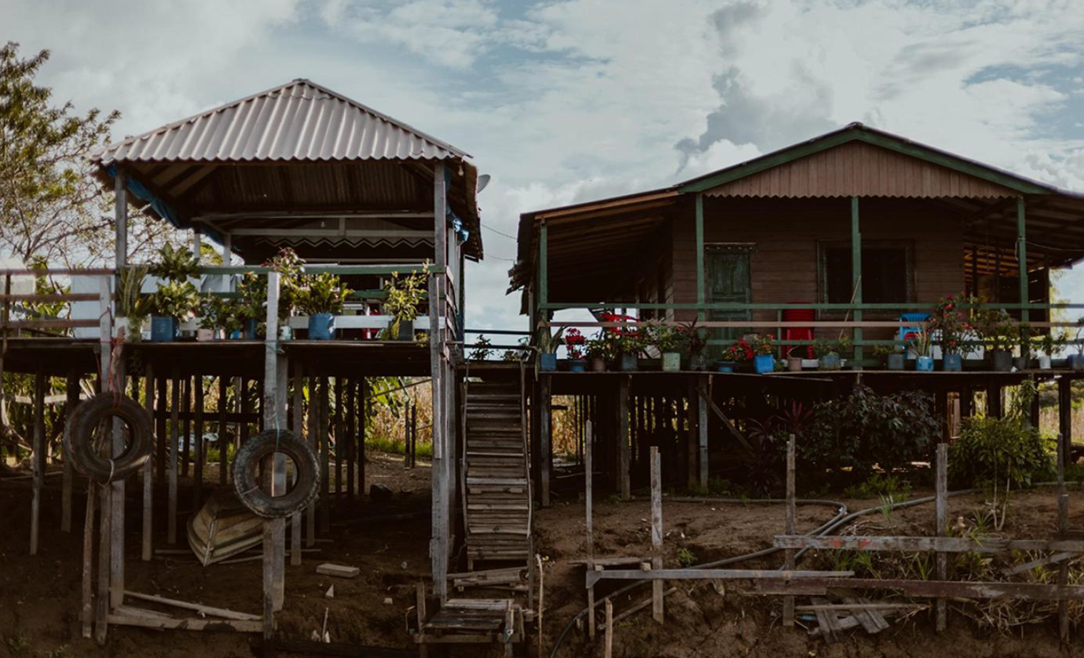
The study focused on the seasonally flooded landscape near Alenquer, in the western part of Pará state. These whitewater floodplains are shaped by annual flooding, river-channel movement and the repeated erosion and deposition of sediment. Such conditions have made archaeological investigation difficult, and relatively few floodplain sites have been studied in detail.
Researchers tested whether satellite imagery could help locate fluvial levees—slightly elevated landforms created when rivers deposit sediment along their banks. Because levees remain above floodwaters longer than surrounding terrain, they can support taller and denser vegetation. They may also have provided suitable locations for settlement and other activities in the past.
The team used images from Brazil’s CBERS-4A satellite and calculated the Normalized Difference Vegetation Index, or NDVI, which measures vegetation density and greenness. Areas with especially high values were mapped as possible zones of high floodplain forest growing on elevated land.
Fieldwork conducted in March 2024 examined selected locations to determine whether the vegetation patterns corresponded to levees. Researchers documented terrain, vegetation, proximity to water and soil conditions. They also searched the surface for artifacts and used an auger to investigate buried sediment layers.
Several areas identified through satellite data showed characteristics consistent with fluvial levees. Two locations were situated on visibly elevated ground beside river channels and contained comparatively well-drained soils. Another point appeared to represent an older levee buried beneath more recent fine sediment deposited during flooding.
However, the relationship between high NDVI values and elevated terrain was not consistent in every case. Some densely forested areas had soil conditions indicating prolonged seasonal saturation and may represent lower or transitional parts of the floodplain. The researchers therefore caution that vegetation mapping cannot yet be used as a reliable archaeological predictor without additional field verification.
The strongest result came from Bom Jesus, a locality identified through the knowledge of residents rather than through the random satellite-based sample. The site lies on an elevated fluvial levee covered by dense forest and contained archaeological material across an area measuring approximately 200 by 50 metres.
Objects collected or observed at the site included pottery fragments, decorated rims, ceramic appliqués, complete and broken figurines, a perforated ceramic disk and polished stone axe blades. Archaeological remains were more concentrated on the higher, forested portion of the site, while material from the lower area was generally more fragmented.
A test excavation found cultural remains within the upper 20 centimetres of soil. The sediments and drainage patterns were consistent with a levee setting that remained relatively dry near the surface, although the lower layers showed evidence of a seasonally fluctuating water table.
The study’s authors emphasize the importance of cooperation with local communities. Residents contributed detailed knowledge of subtle topographic differences that were often difficult for visiting researchers to recognize. Their understanding of which areas flood last and where artifacts occur was essential to interpreting the landscape.
The findings confirm that Amazonian floodplains contain archaeological records despite continuous environmental change. They also suggest that combining satellite imagery, geomorphology, soil analysis and community knowledge may provide a practical method for identifying sites hidden within seasonally flooded forests.
Although the approach remains preliminary, it offers a new way to investigate how pre-colonial communities used river corridors, elevated levees and aquatic environments. Further research could help reconstruct patterns of settlement, mobility, resource use and exchange across one of the world’s most dynamic archaeological landscapes.
Published on: 27-07-2026
Edited by: Abdulmnam Samakie