- Archaeological News
-
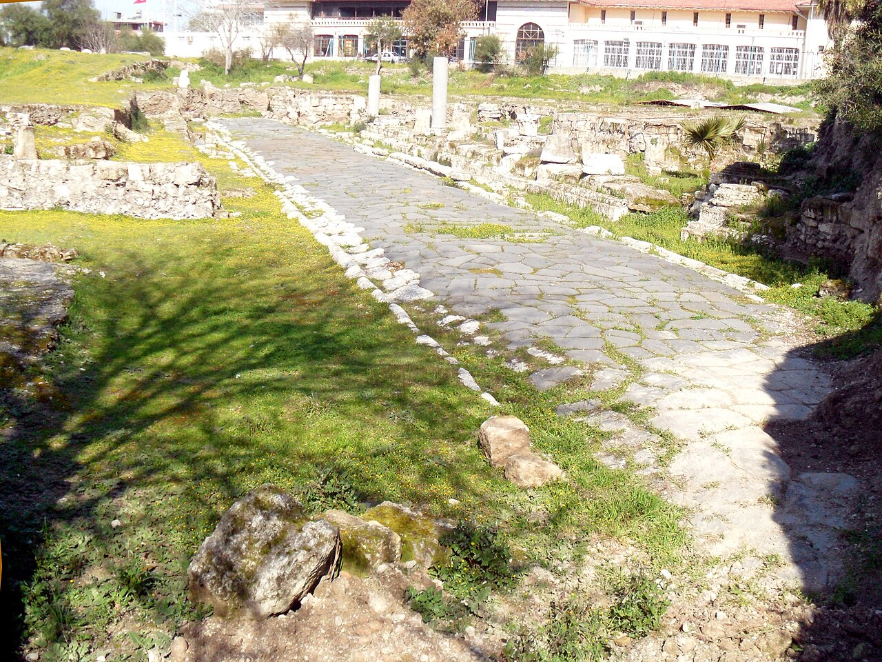
 Roman road preserved within the ancient urban fabric of Tarsus, Türkiye.
Image Credit:
Nedim Ardoğa, CC BY-SA 3.0, via Wikimedia Commons
Not All Roads Led to Rome: New Analysis Redraws the Roman Road Network
A large-scale analysis of nearly 300,000 kilometres of Roman roads has produced the most detailed quantitative picture yet of how the empire’s terrestrial transport network was structured, how closely it followed the landscape and how much of its influence can still be detected in modern road systems.
The Roman road network stretched across Europe, North Africa and the Middle East, connecting cities, military zones, ports and rural areas. At its height in AD 117, the empire covered almost 5.5 million square kilometres around the Mediterranean. Although Roman roads have long been associated with straight lines, engineering precision and the saying that “all roads lead to Rome,” many of these assumptions had never been tested across the empire as a whole using a single high-resolution dataset.
The new analysis draws on a digital reconstruction containing about 299,171 kilometres of roads. Researchers divided routes into one-kilometre segments and examined factors including slope, topographic position, direction and sinuosity—the degree to which a road deviates from a straight line. They also applied network analysis to determine which roads and cities occupied the most important positions for overland movement.
The results confirm that Roman engineers generally preferred direct routes when the terrain allowed it, but the familiar image of uniformly straight Roman roads is too simple. Roads in lowlands, including parts of western Europe, the Po Valley, the Pannonian Basin, North Africa, central Anatolia and Syria, tended to be straighter. In mountainous landscapes, routes became more winding as they followed valleys, passes and other favourable terrain.
Even so, the network was carefully adapted for transport. About 90.6 percent of the mapped roads fall below a maximum gradient of 16 percent, a level considered compatible with wheeled traffic. The comparatively gentle gradients of roads crossing the Alps are particularly notable. Rather than simply accepting difficult terrain, Roman builders sometimes used cuttings, terraces, retaining structures and, in exceptional cases, tunnels to maintain usable routes.
Comparison with present-day infrastructure revealed another important pattern. Roman roads and major modern roads show a moderate positive geographic correlation, indicating that parts of the ancient transport geography have persisted for nearly two millennia. The relationship is far from uniform, however. Road density has increased dramatically in industrial and urban areas such as northern Italy, Britain and the Rhine-Meuse region, as well as around modern centres including Paris and Madrid. By contrast, some areas that were highly urbanised in Roman times, including parts of Greece, Asia Minor and North Africa, now have lower densities of major roads.
Network analysis also showed that the roads traditionally classified as major routes generally occupied more strategically important positions than secondary roads. In almost all provinces where both categories could be compared, main roads were more likely to lie along routes that connected large parts of the provincial network. This supports the long-standing archaeological distinction between primary arteries and lesser roads with quantitative evidence.
Provincial capitals were also unusually well positioned. Thirty-five of 45 capitals ranked in the highest group for at least one measure of network centrality, confirming that many served as major crossroads or easily accessible intermediaries for movement within their provinces.
One result, however, complicates the famous image of Rome as the unavoidable centre of the road system. For terrestrial movement across the empire, cities including Antioch, Ancyra, Byzantium and Corinth occupied more central intermediary positions than Rome. Byzantium was especially important because it linked the European and Asian components of the road network across the Bosporus.
This does not mean Rome was unimportant. The analysis deals specifically with terrestrial routes and does not incorporate the enormous role of maritime and river transport. Rome’s position in the Mediterranean gave it far greater importance when sea routes are considered.
Taken together, the findings present the Roman road system not as a rigid network of perfectly straight highways radiating from one capital, but as a flexible infrastructure shaped by geography, provincial needs and engineering choices. Its influence was powerful enough that traces of the network can still be detected in the transport landscape of regions that once formed part of the Roman world.
Published on: 15-09-2026
Edited by: Abdulmnam Samakie
Source: Nature Communications