- Archaeological News
-
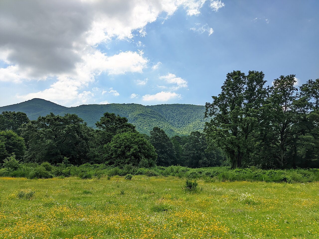
 Modern landscape of the Alban Hills in central Italy, part of the ancient Latium vetus region examined in the study.
Image Credit:
Emanuele Petriglia, CC BY-SA 4.0, via Wikimedia Commons
AI Reveals How Ancient Settlements Shifted from Water to Defensible Heights Before Rome
A new archaeological analysis using explainable machine learning has traced a long-term transformation in where communities chose to settle in central Italy between the Early Bronze Age and the Early Iron Age. The results suggest that access to water strongly influenced the earliest settlements, while later communities increasingly preferred elevated and naturally defensible locations—a change that accompanied the emergence of more structured territorial landscapes in the centuries before Rome became dominant.
The research focuses on Latium vetus, or Old Latium, the region traditionally associated with the ancient Latin communities and the landscape from which Rome later emerged. The area examined includes the Roman countryside, the Alban Hills and the coastal zone south of them. The analysis covers approximately 2100–725 BC, allowing settlement choices to be followed across nearly fourteen centuries.
Researchers examined 108 securely dated settlements and compared them with 100 artificially generated background locations. The purpose was not to predict where undiscovered archaeological sites might exist, but to identify which environmental characteristics most clearly distinguished known settlements from other points in the landscape.
The model considered factors such as elevation, terrain type and walking distance to rivers, springs, lakes, lagoons and the sea. It also assessed the amount and quality of land available for agriculture and grazing within approximately an hour’s walk of each settlement. Terrain was divided into categories ranging from isolated peaks, plateaus and ridges to slopes, hills and plains.
To interpret these variables, the study combined a Random Forest algorithm with SHAP analysis, a technique designed to explain how individual factors influence machine-learning results. This made it possible not only to determine which environmental characteristics were important, but also to examine whether they made a location more or less favourable for settlement.
The earliest phases show a strong connection with water. During the Early Bronze Age, accessibility to hydrological resources was the principal factor distinguishing settlements from surrounding areas. Springs, rivers and other freshwater sources offered drinking water and other resources, while rivers could also function as routes for movement and communication.
A significant change began during the later Middle Bronze Age, around 1400–1300 BC. At this point, the shape and elevation of the terrain became increasingly influential. The shift was not immediate: water availability and agricultural resources remained relevant, but communities began to favour locations whose topography offered greater visibility and natural protection.
This preference became considerably stronger during the Final Bronze Age. From about 1150 BC onward, topographic setting emerged as the most persistent positive factor associated with settlement locations. Plateaus, ridges and isolated elevations increasingly distinguished occupied places from the surrounding landscape, while altitude reinforced the pattern.
By the period between roughly 950 and 800 BC, the relationship became particularly pronounced. The machine-learning models consistently identified topographic position as the dominant characteristic shaping settlement location. These communities were therefore no longer choosing places primarily because they stood close to water or fertile ground; the physical form and strategic position of the landscape had become increasingly important.
The archaeological interpretation connects this transition with wider social changes. Defensible and visually prominent settlements may have served as territorial centres as social differentiation intensified during the later Bronze Age and Early Iron Age. Burial evidence from the same period also points toward increasingly visible expressions of status, while some settlements appear to have acquired specialised economic or political roles.
By the final phase studied, around 800–725 BC, the landscape appears more densely occupied, hierarchically organised and functionally diverse. Not every settlement followed the dominant preference for elevated defensible locations. Some specialised sites instead occupied places selected for particular economic activities, illustrating how an increasingly complex settlement system could contain several different locational strategies.
The researchers nevertheless stress important limitations. Some chronological phases contain relatively few settlements, the archaeological record is uneven, and the analysis relies on artificial background points that cannot be guaranteed to represent locations where settlements were truly absent.
Rather than replacing traditional archaeological interpretation, the approach provides a quantitative way to test patterns already suspected from excavations and landscape studies. The resulting picture is one of gradual change: early communities anchored strongly to water resources, followed by societies increasingly concerned with elevation, defensibility, visibility and territorial control—transformations that helped shape the complex landscape of central Italy before the rise of Rome.
Published on: 19-09-2026
Edited by: Abdulmnam Samakie
Source: PLOS One